


Oronoco Voting District, Olmsted County, Minnesota
About
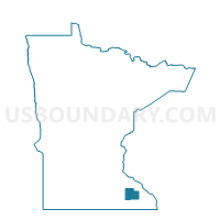
Outline

Summary
| Unique Area Identifier | 603409 |
| Name | Oronoco Voting District |
| County | Olmsted County |
| State | Minnesota |
| Area (square miles) | 2.82 |
| Land Area (square miles) | 2.49 |
| Water Area (square miles) | 0.32 |
| % of Land Area | 88.52 |
| % of Water Area | 11.48 |
| Latitude of the Internal Point | 44.16114330 |
| Longtitude of the Internal Point | -92.54077270 |
Maps


Graphs
Select a template below for downloading or customizing gragh for Oronoco Voting District, Olmsted County, Minnesota


Neighbors
Neighoring Voting District (by Name) Neighboring Voting District on the Map
- New Haven Twp. Voting District, Olmsted County, MN
- Oronoco Twp. Voting District, Olmsted County, MN
- Pine Island Voting District, Olmsted County, MN
Top 10 Neighboring County Subdivision (by Population) Neighboring County Subdivision on the Map
- Oronoco township, Olmsted County, MN (2,220)
- Oronoco city, Olmsted County, MN (1,300)
- New Haven township, Olmsted County, MN (1,184)
- Pine Island city, Olmsted County, MN (703)